

COLUMBUS, Ind.- The National Weather Service (NWS) issued a warning that a potent storm system is possible in Bartholomew County on Thursday night with a chance of strong to severe storms between 2 and 10 p.m.
Isolated to scattered thunderstorms are possible, with large hail as the primary early threat.
Bartholomew County has now been upgraded to an Enhanced Risk for severe weather later today.
Timing:
- Storms are possible from 1 to 10 p.m.
- Most likely timeframe is 3 to 7 p.m.
- There is still some uncertainty regarding the exact time of storm initiation
Main Hazards:
- Damaging straight-line winds at 60+ mph
- Large hail the size of 1 inch or more
- Tornadoes are possible
What You Should Do:
- Stay weather-aware throughout the day
- Have multiple ways to receive warnings (NOAA Weather Radio, phone alerts, local media)
- Secure outdoor items that could be blown around
- Know your safe place - the lowest level, interior room away from windows
 BCSC 'Future Educator Signing Day' is May 5
 Local Holiday Inn Express/Suites receives elite honor
 'Crossroads Acoustic Fest' in Seymour is last weekend in April
 IU Biology Researcher pleads guilty to smuggling E. coli DNA from China
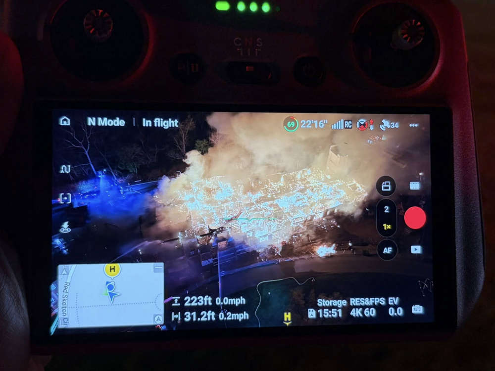 Franklin Fire crews fight Compass Park fire